top of page
Hangtown Skycam Imagery
From South Lake Tahoe to El Dorado Hills, El Dorado County is an easy-on-the-eyes photographer's dream.
Project type
Aerial Photos
Date
November, 2026
Location
El Dorado County, California

01
Hangtown Skycam Imagery

01
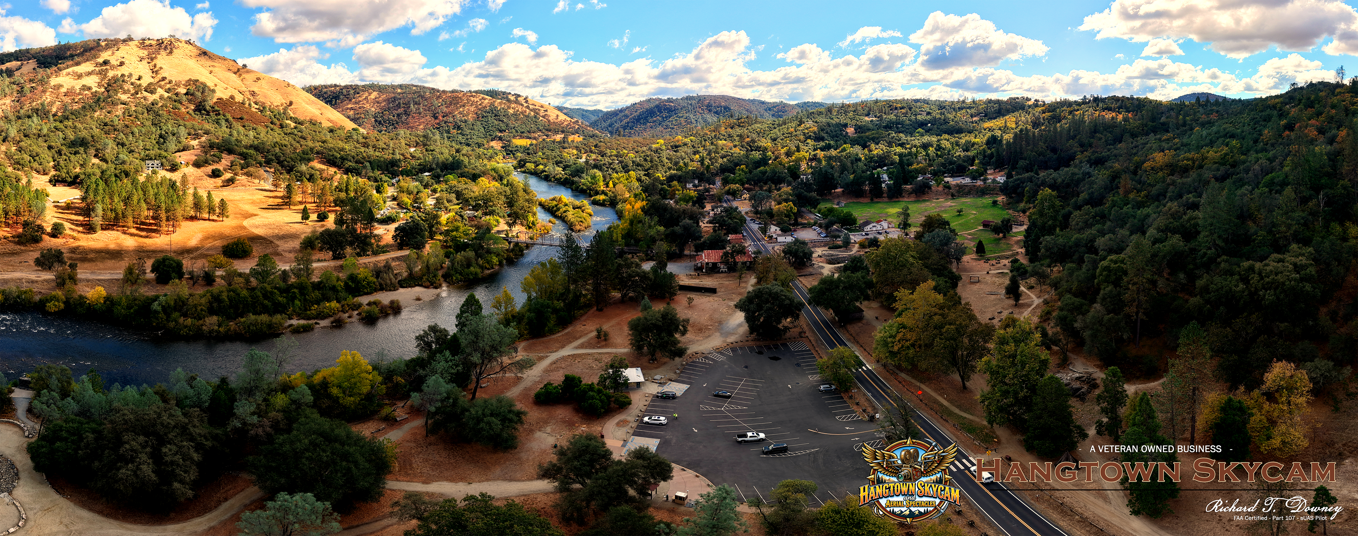
James Marshall Gold Discovery State Historic Park
"My eye was caught by something shining in the bottom of the ditch. . . . I reached my hand down and picked it up; it made my heart thump, for I was certain it was gold. . . "
James Marshall
January, 1848
James Marshall
January, 1848

02
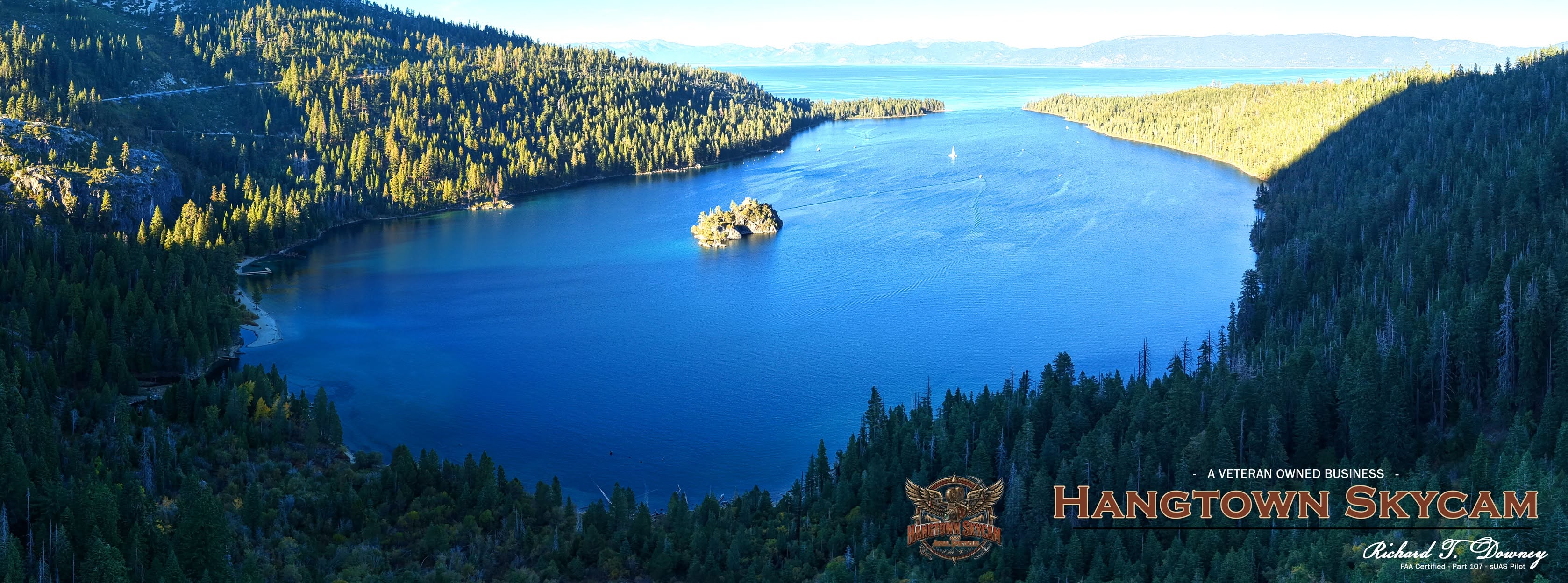
Emerald Bay
Looking northeast to Lake Tahoe and beyond.

03
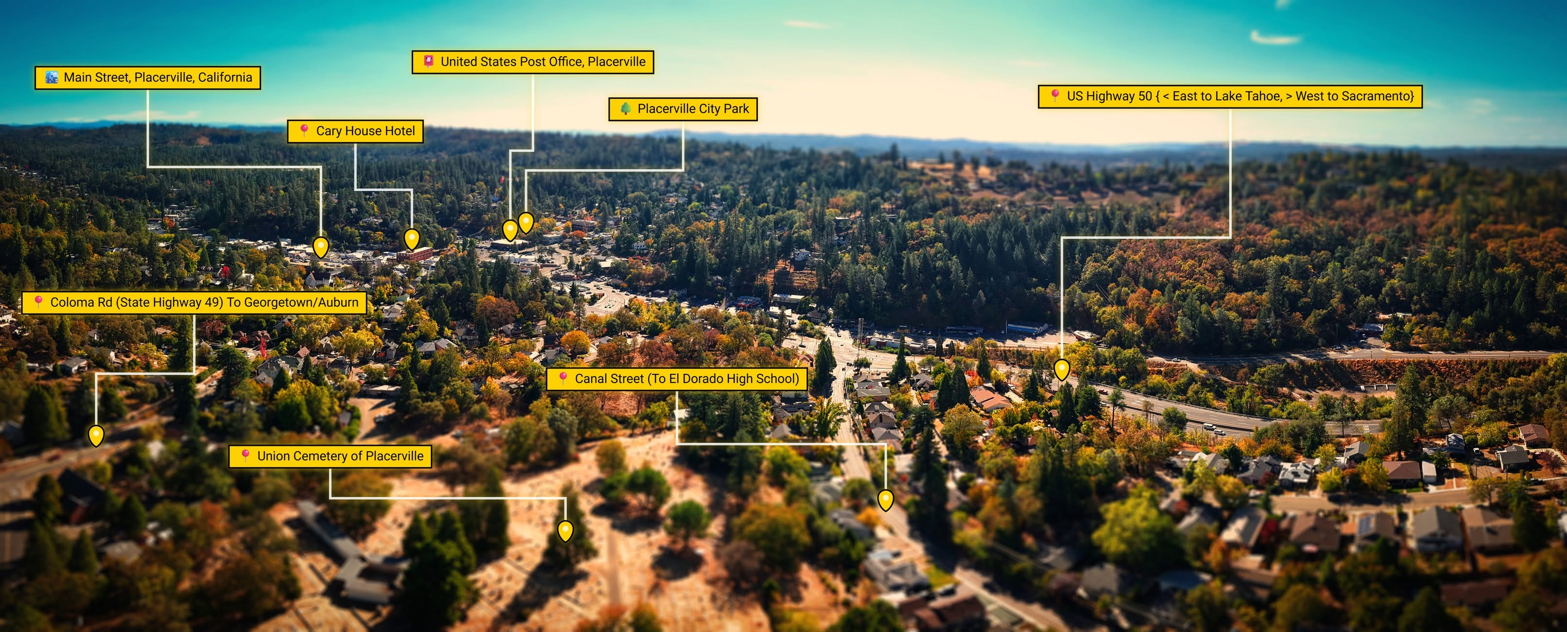
Placerville, California
Points of Interest, Placerville, California

04
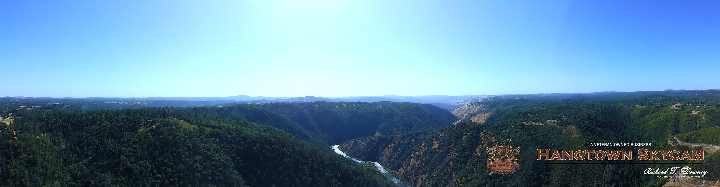
American River Canyon
North Placerville, looking west toward Coloma and Lake Folsom, in the American River canyon.

05
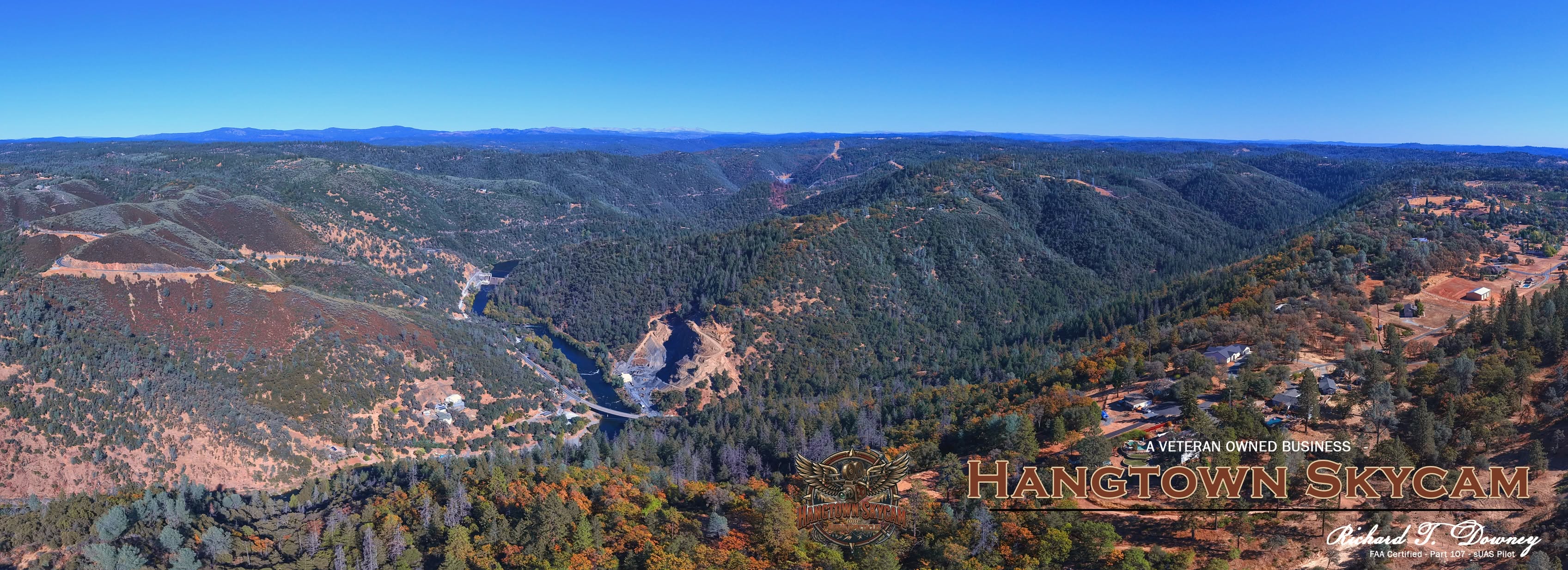
Chili Bar, South Fork of the American River
Looking east up the American River canyon toward Chili Bar, State Highway 193 bridge, and the Chili Bar Hydroelectric Project Dam.

06
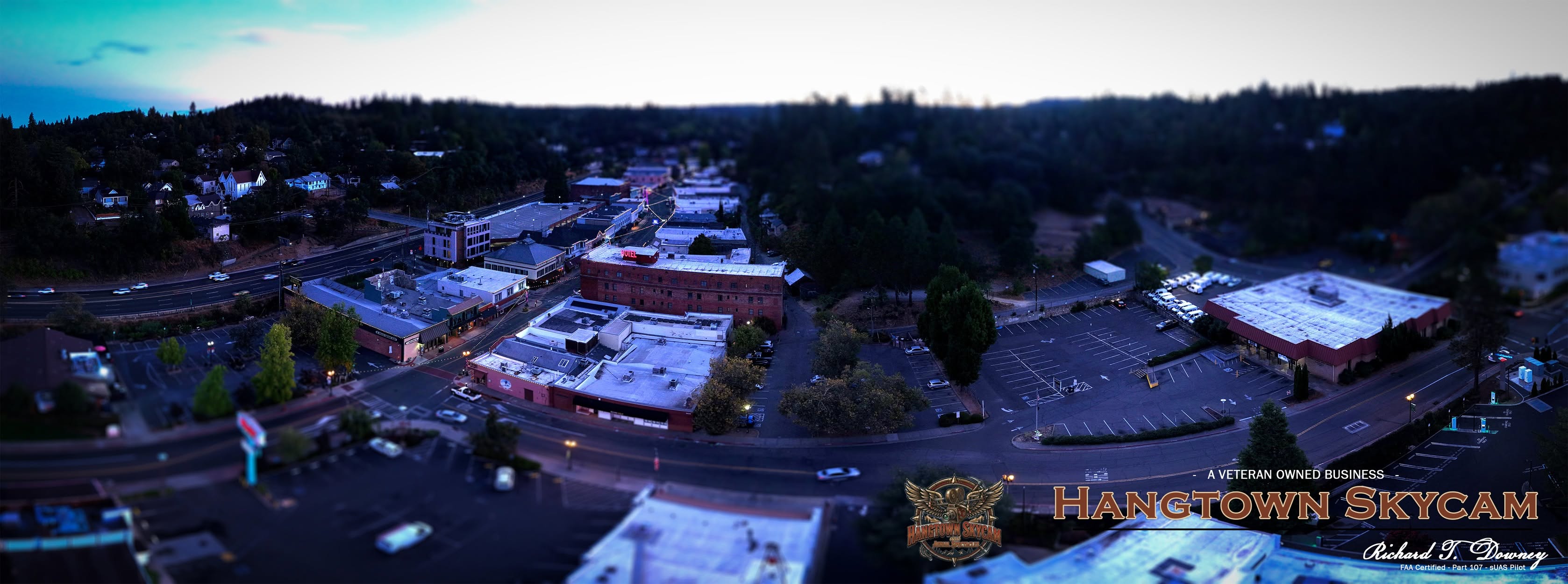
Early Morning Placerville
Tilt-shift focused image of downtown Placerville from the west. Very early morning.

07
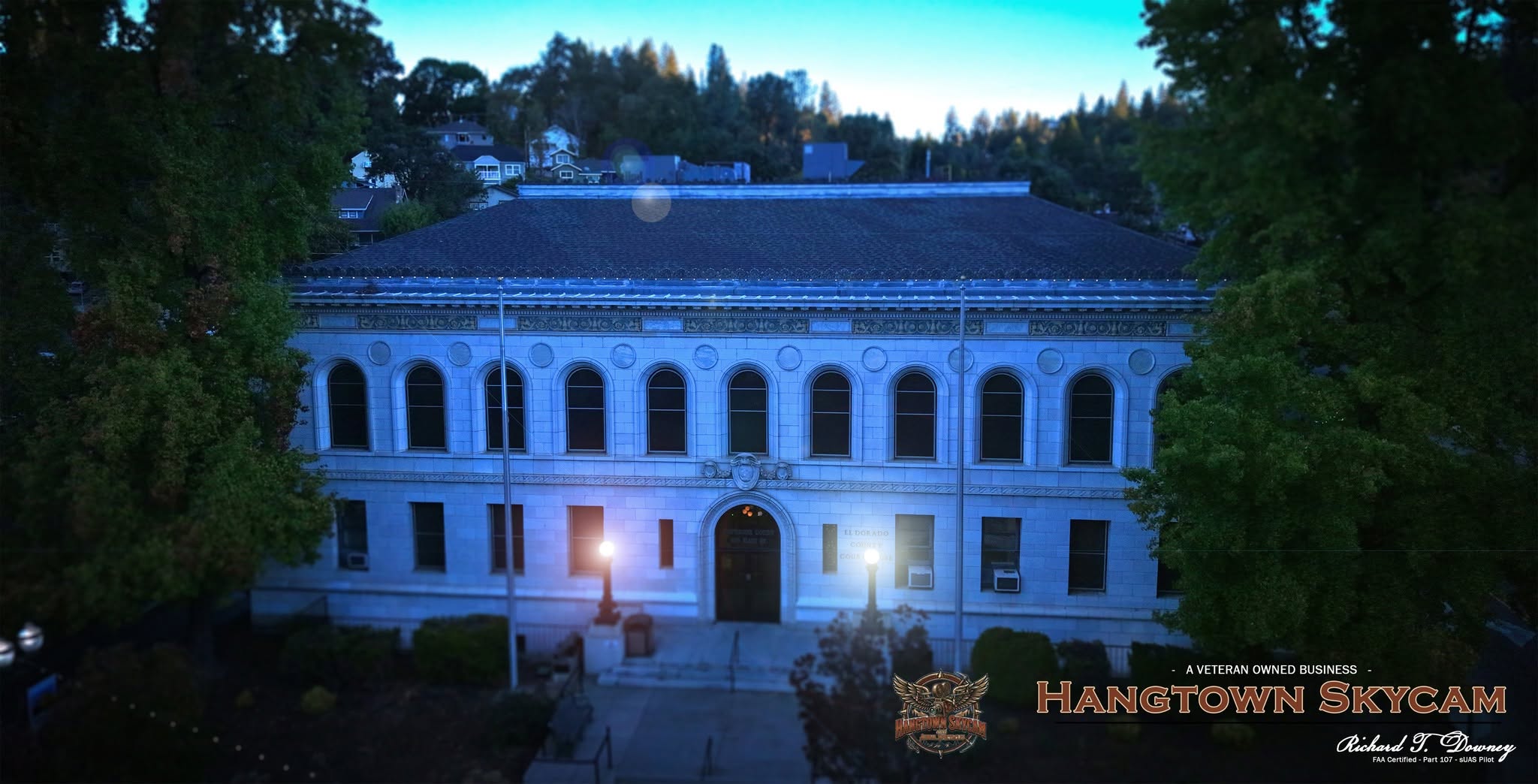
El Dorado County Superior Court
Early morning image of the El Dorado County Superior Court. Light flares added to the lampposts for effect. Not ever sure if they work. :)

08
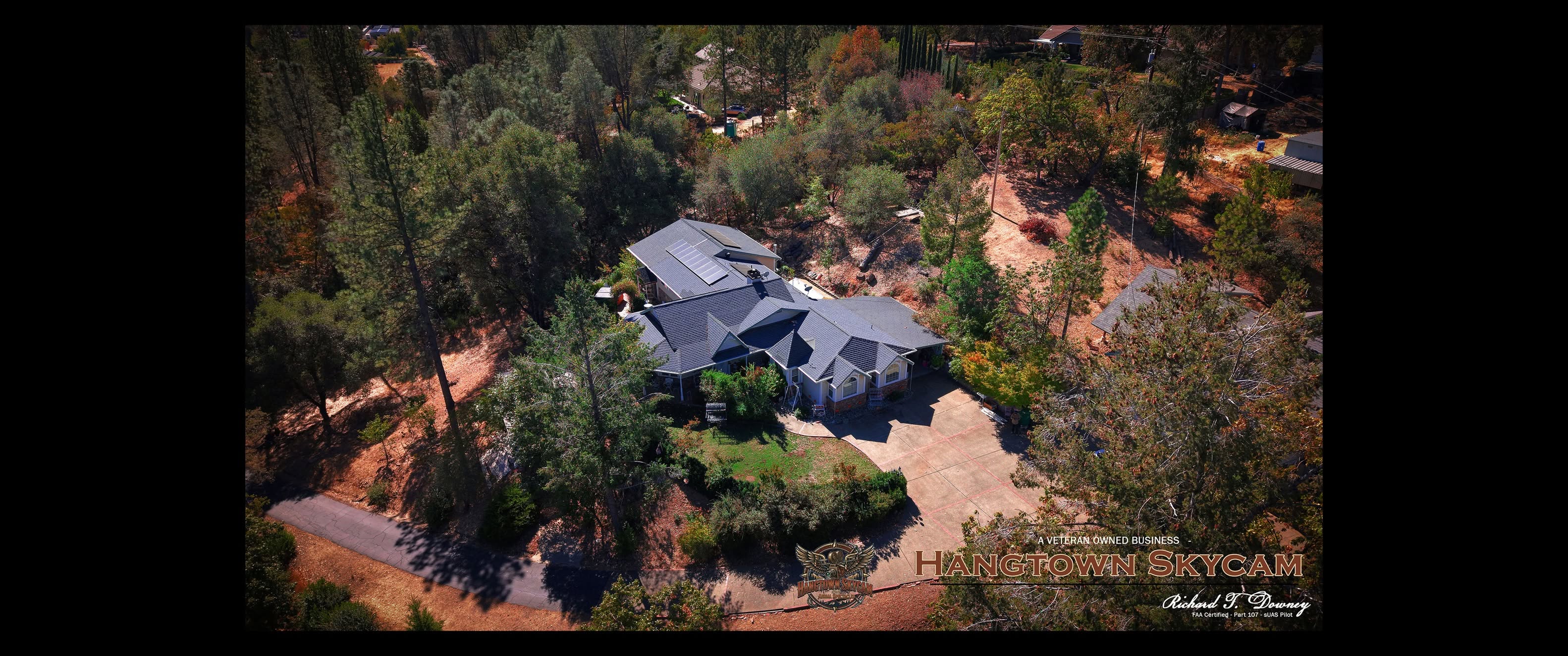
Home and Property Imagery
Aerial still of a home in Placerville, California. Color-graded and branded.

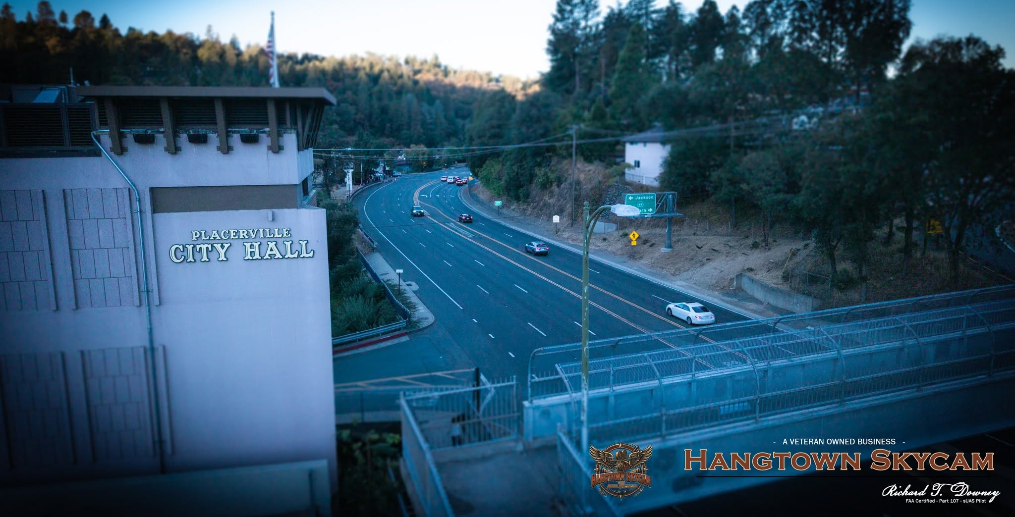
09
Placerville City Hall and Highway 50
View from Main Street parking garage of Placerville's City Hall and Highway 50 beyond.
- Coloma, California. Gold discovery site.
- Emerald Bay, Lake Tahoe, California
- Points of Interest, Placerville, California
- American River canyon, North Placerville
- Chili Bar, North Placerville
- Downtown Placerville, California (with tilt-shift)
- El Dorado County Superior Court building, Main Street, Placerville, California
- Aerial still of a California home.
- Placerville City Hall and Highway 50.
bottom of page