LOCAL PERSPECTIVE
With a deep-rooted connection to El Dorado County, our mission is to provide the precision and perspective that local property owners deserve. We blend technical expertise with a local touch, ensuring every flight captures the unique character of Northern California’s landscapes—from the rolling hills of Placerville to the vast open spaces of the Sierra Nevada.
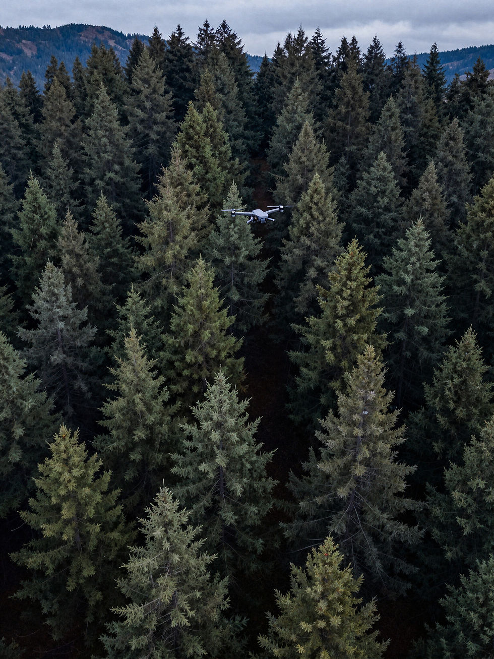
Our Gear
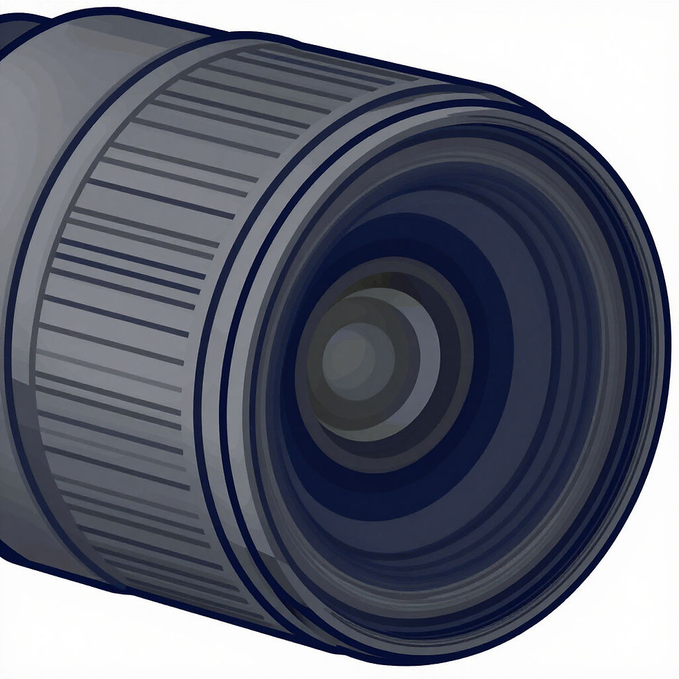
High-Res Cameras
Professional-grade sensors capturing 4K resolution and 12-bit color depth for ultra-clear property documentation.
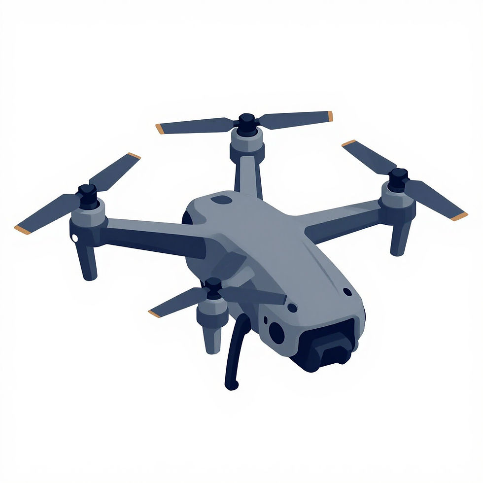
Flight Controllers
Advanced stabilization systems ensuring smooth, cinematic footage even in the most challenging mountainous terrain.

Geospatial GPS
High-precision RTK GPS technology for centimeter-level accuracy in every aerial mapping and surveying project.

Thermal Imaging
Advanced thermal sensors for detecting structural anomalies and energy loss in residential and commercial properties.